Infrastructure & Civil Engineering
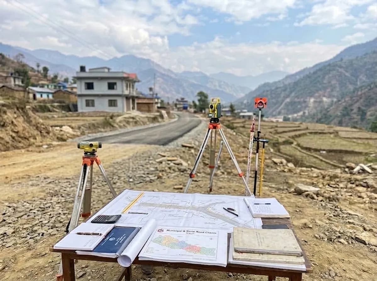
Lalbandi Municipal and Rural InteriorNetwork Survey
Lalbandi, Sarlahi, Nepal
Overview
An engineering survey and field measurement campaign for existing and proposed road networks in challenging terrain to guide municipal and rural infrastructure development.
The Challenge
Navigating complex local topography while accurately mapping alignments, elevations and right-of-way boundaries to establish reliable baseline engineering data.
Scope
- Route & As-Built Survey: Mapping active alignments and existing tracks.
- Terrain Data Collection: Topographic elevation measurements using total stations and auto-levels.
- Boundary Verification: Right-of-way assessment and alignment verification.
- Design Inputs: Collecting elevation and cross-section profiles for civil works estimation.
What We Delivered
Field Survey Data
Processed raw measurement datasets and elevation logs.
InteriorNetwork Map
Verified base maps detailing existing and planned routes.
Profile Drawings
Detailed longitudinal and cross-section profile drawings.
Estimation Inputs
Standardized quantities and cost-estimation baseline data.


Ready to Transform Your Space or Start Your Next Engineering Project?
Whether you are looking to revitalize a rooftop, launch an agricultural development, or need end-to-end civil design solutions, our team in Kathmandu is here to bring your project to life.
Book a free consultation