Disaster Risk Reduction & Resilience
Lalbandi Integrated Disaster Risk Pre-Management and Planning
Lalbandi, Sarlahi, Nepal
Overview
A comprehensive municipal strategy integrating multi-hazard risk assessments, flood/earthquake alert protocols and spatial hazard zoning to build local resilience.
The Challenge
Communicating complex multi-hazard risks (floods, earthquakes, landslides) to municipal leaders and community representatives to build enforceable response plans.
Scope
- Multi-Hazard Risk Assessment: Mapping floodplains, landslide zones and seismic vulnerabilities.
- Alert Protocol Development: Structuring early warning systems and triggers.
- Planning Guidelines: Drafting and structural mitigation plans.
- Institutional Coordination: Conducting multi-stakeholder workshops.
What We Delivered
Integrated DRR Plans
Comprehensive risk reduction and mitigation strategy documents.
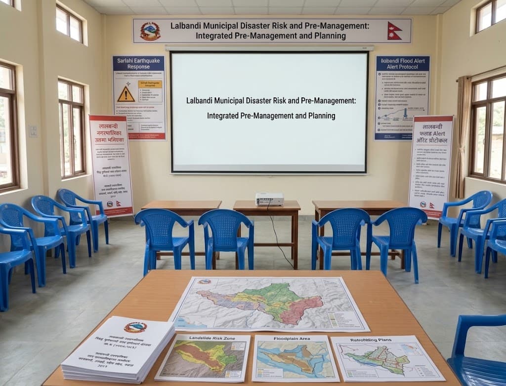
Hazard Maps
Spatial maps identifying floodplains, landslide areas and safe zones.
Early Warning Protocols
Standard operating procedures for flood and disaster alerts.
Guidelines
Actionable technical recommendations for safer construction.


Ready to Transform Your Space or Start Your Next Engineering Project?
Whether you are looking to revitalize a rooftop, launch an agricultural development, or need end-to-end civil design solutions, our team in Kathmandu is here to bring your project to life.
Book a free consultation